
Another 4.5 million people are expected to live in the Chesapeake Bay watershed by 2050. Where will these additional people live? How will that affect, or be affected by, land conservation efforts? This map projects where and how much development will occur between now and 2050.
This map projects where and how much development will occur between now and 2050 per HUC 12 subwatershed.
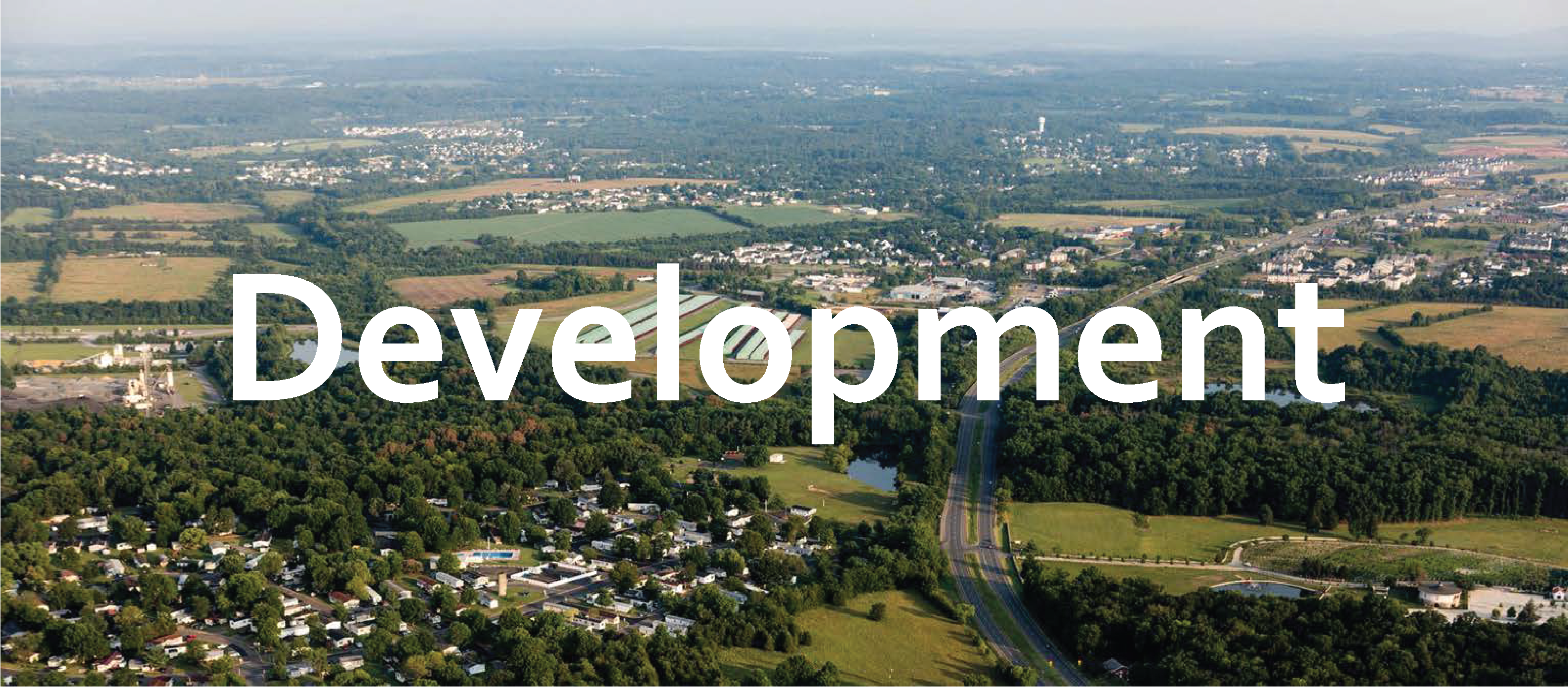
Today over 18 million people call the Bay watershed home. By 2050, the population will likely increase to 22.5 million. Based on historic trends, most of these people are expected to live and work in and around major cities (e.g., Harrisburg, Baltimore, Washington D.C., Richmond, and Norfolk) and along major transportation corridors (e.g., I-81, I-95, I-66) as depicted in the this map. Over 570,000 acres are projected to be developed to accommodate them, another 1.3% of the watershed. However, these trends could change due to emerging technologies (e.g., driverless cars), more flexible workplaces and schedules, changing cultural preferences, the construction of new roads, and other factors.
For more information and to explore the map featured below further, please visit https://www.landscope.org/chesapeake/chesapeake_map_layers/threats/chpk_ProjectedGrowth2050/27782/.
![]()