
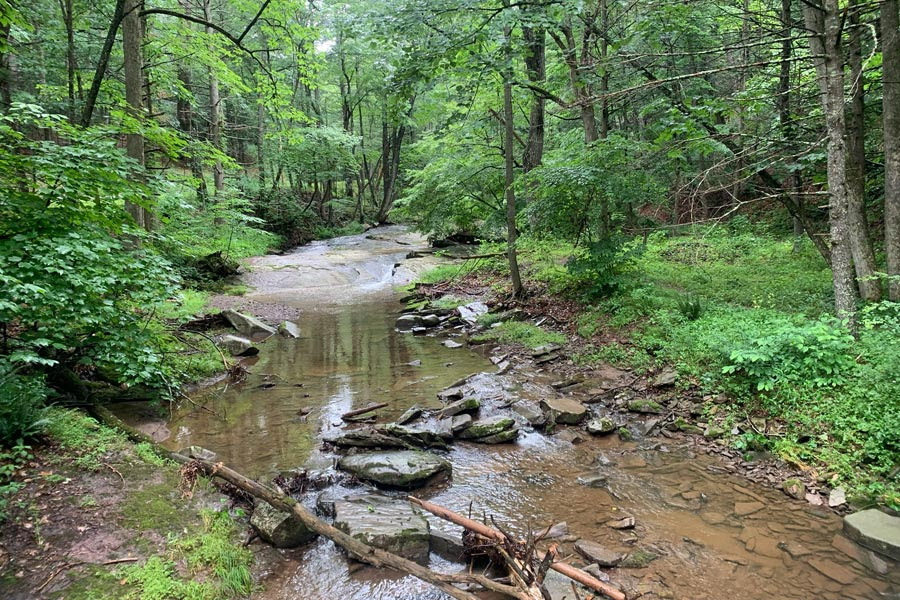
Lost River State Park
(Photo Credit: West VA State Parks)
By Jake Leizear, Chesapeake Conservancy
There is a delight in the hardy life of the open. There are no words that can tell the hidden spirit of the wilderness, that can reveal its mystery, its melancholy and its charm. The nation behaves well if it treats the natural resources as assets which it must turn over to the next generation increased; and not impaired in value. Conservation means development as much as it does protection.
– Theodore Roosevelt (1955). “Theodore Roosevelt’s America: Selections from the Writings of the Oyster Bay Naturalist”
The conservation of land is just one action that can provide a variety of environmental benefits. Conserved, or protected, lands can protect our drinking water, support habitat for wildlife, provide recreational and cultural opportunities to people across the watershed and preserve these values for generations to come. With the ability for one piece of protected land to contain this multitude of benefits, the widespread drive to conserve our special places is a naturally obvious one to environmental stewards across the Chesapeake.
 Conserving land is a reaction, a counter-balance to the development and use of land that destroys its natural and cultural values. With a land-to-water ratio of 15:1, the Chesapeake’s watershed is especially sensitive to development that impacts water quality. Loss of natural resources continue to lead to environmental decline in the watershed, even with the astronomical efforts of the many partners working to stem the tide. Between 1982 and 1997, for example, the Bay watershed lost more than 750,000 acres of forestland to development, about 100 acres per day.1 Wetlands were equally decimated. Conversion of forests and fields to other uses such as housing and commercial or industrial uses reduces habitat for native plants and animals, increases runoff and concomitant water pollution, and results in air pollution, increased heat island effect and more factors that contribute to declining human health. New development also can damage the cultural landscapes important to traditional and indigenous people. And yet we want to provide a means for supporting the needs of a growing population and economy, and there lies the challenge.
To address and potentially offset development and other losses, the Chesapeake Bay Watershed Agreement, signed in 2014, includes land conservation among its 10 goals reflective of the environmental needs to advance restoration and protection of the Chesapeake Bay watershed. The Land Conservation Goal is as follows: “Conserve landscapes treasured by citizens in order to maintain water quality and habitat; sustain working forests, farms and maritime communities; and conserve lands of cultural, indigenous and community value.” Nested under this goal is the Protected Lands Outcome, to protect an additional two million acres of land throughout the watershed between 2010 and 2025. This includes 225,000 acres of wetlands and 695,000 acres of forest land of highest value for maintaining water quality. In addition to these stated commitments under the Chesapeake Bay Program, the Chesapeake Conservation Partnership strives to conserve even more, reaching for 30% of land in the watershed, or approximately 12 million total acres, by 2030.

Protected Lands Signage
(Photo Credit: Montgomery Planning.)
How do we know if we’re meeting the targets?
Technical specialists from the variety of agencies and organizations in the watershed are working together, utilizing data and mapping resources to assist with planning, implementing, tracking and communicating about these commitments. For an accurate measurement of progress towards this goal, a baseline for measurement was established in 2010 by the Chesapeake Bay Program, identifying that an initial 7.8 million acres had been conserved within the watershed. This value was based on 2008 state reported values in West Virginia, New York and Delaware, and additional tabular data collected in 2010 for Maryland, Pennsylvania, Virginia and the District of Columbia. Additional data was added from the Protected Areas Database of the United States (PAD-US) and the National Conservation Easement Dataset (which has been included within PAD-US since December 2020). PAD-US, a product of the U.S. Geological Survey, serves as the national dataset of protected lands and a baseline reference for conservation reporting in the watershed.
From this initial baseline statistic of 7.8 million acres, measurements of conserved lands occurred in 2011, 2013, 2015/16 and 2018. These measurements were broken down both by progress by jurisdiction (as shown in the graph below), and by ownership type. These include categories of owners such as federal, state, local, non-governmental organizations, private, tribal and other. The progress over these collection periods represent a 17 percent increase in conserved land – an approximately 1.3 million acre increase from 2010 to 2018, to a total of 9.2 million acres, or 22 percent of the watershed in total.

Acres of Protected Lands Graph (2013-2018)
(Photo Credit: Chesapeake Bay Program.)
What have we learned over the years?
This collection process tells us a few different things. State agencies across the watershed are the largest contributor to land protection, owning approximately 44% of protected lands. However, states remain consistent on reporting rates over this time period, with no major increases or decreases in conservation progress. Some properties that were conserved outside of the reporting periods may have only been reported within these periods, despite being conserved previously. Private land conservation, however, experienced a marked increase between 2015/16 and 2018. To learn more about these statistics, please visit the Chesapeake Progress – Protected Lands webpage.

Protected Land Ownership Graph (2018)
(Photo Credit: Chesapeake Bay Program.)
It is important to note the most recent reports are from 2018. The next report was due for 2020, but the opportunity was taken to develop an improved path for future reporting. This reporting process was initially conducted bi-annually, due to the intensive process of conducting these updates. With seven jurisdictions being represented by 30 datasets, across a watershed of 44 million acres, this reporting process took a considerable amount of time and analysis to complete and publish. In 2020, the Chesapeake Bay Program partnered with the Chesapeake Conservancy to identify ways to make this process more efficient. Through a pilot process utilizing Maryland specific data occurring over 2020, this team utilized computer programming and process optimization to take what was initially a multi-week process and transform it into one that can be completed within hours. This improved process time will allow for increased capacity to further explore data gaps, create reporting updates more regularly, and better understand reporting rates and identify where we are on track to our 2025 and 2030 goals. This process is being implemented watershed wide, with an updated report expected summer 2022. Developing the new process has meant a delay in updating the indicator of our progress toward land conservation, but one well worth the wait to achieve more efficient processes, and potentially more accurate figures for the future. The resulting analysis (updated land conservation numbers!) will be shared widely when ready.
To learn more about the strategy and goals of the Chesapeake Bay Program and its partners to meet their land conservation goals, please visit the Chesapeake Bay Program’s Protected Lands Outcome Management Strategy.
The outgrowth of conservation, the inevitable result, is national efficiency.
– Gifford Pinchot
Conservation of our resources is the fundamental question before this nation, and that our first and greatest task is to set our house in order and begin to live within our means.
–Theodore Roosevelt (1910). “Presidential addresses and state papers”
What counts as protected?
As currently defined by the Chesapeake Bay Program, “protected lands” means “lands permanently protected from development, whether by purchase or donation, through a perpetual conservation or open space easement or fee ownership for their cultural, historical, ecological or agricultural value. This definition includes non-traditional conservation mechanisms, including transfer of development rights programs that require a conservation easement for the “sending” property and purchase of development rights programs. Lands protected through easements and purchase of development rights typically remain in private ownership. Protected lands include: county, town, city, state and federal parks; designated open space and recreational land; publicly owned forests, wildlife management areas, natural areas, habitat areas, and wetlands; privately owned working farms or forests with conservation easements; historically important lands, such as protected battlefields, colonial towns and farms; military-owned parks and recreational areas.”
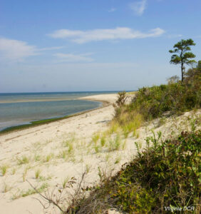
Image credit:
- Savage Neck Dunes Natural Area Preserve (Photo Credit: VA DCR)
Lightning Update is a regular communication of the Chesapeake Conservation Partnership. Any opinions expressed are those of the authors and do not necessarily reflect positions of the Partnership or member organizations.
To share a success story, news, or important event, send your information to:
Support for the Chesapeake Conservation Partnership is provided by:
National Park Service Chesapeake
EPA Chesapeake Bay Program
USDA Forest Service
Pennsylvania Department of Conservation & Natural Resources
Maryland Department of Natural Resources
Virginia Outdoors Foundation
US Fish & Wildlife Service
Chesapeake Conservancy
The Chesapeake Conservation Partnership is co-convened by:

")